SURFCASTING
Read the window before you cast.
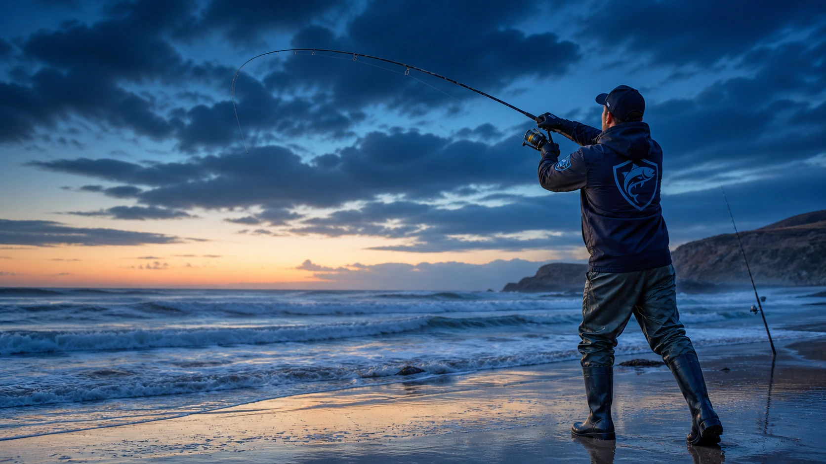
Check tides, wind, waves, period and indicative activity before setting up your equipment on the beach.
Your reference before every trip
Tides, marine weather, 6,365 coastal spots and practical tools brought together in one app.
The markers are decorative on this website. Search, details and navigation remain inside the app.
Sport fishing from the shore
Whether you fish with surfcasting or spinning techniques, the app helps you read the conditions and prepare your trip without replacing your judgement in the field.
Check tides, wind, waves, period and indicative activity before setting up your equipment on the beach.
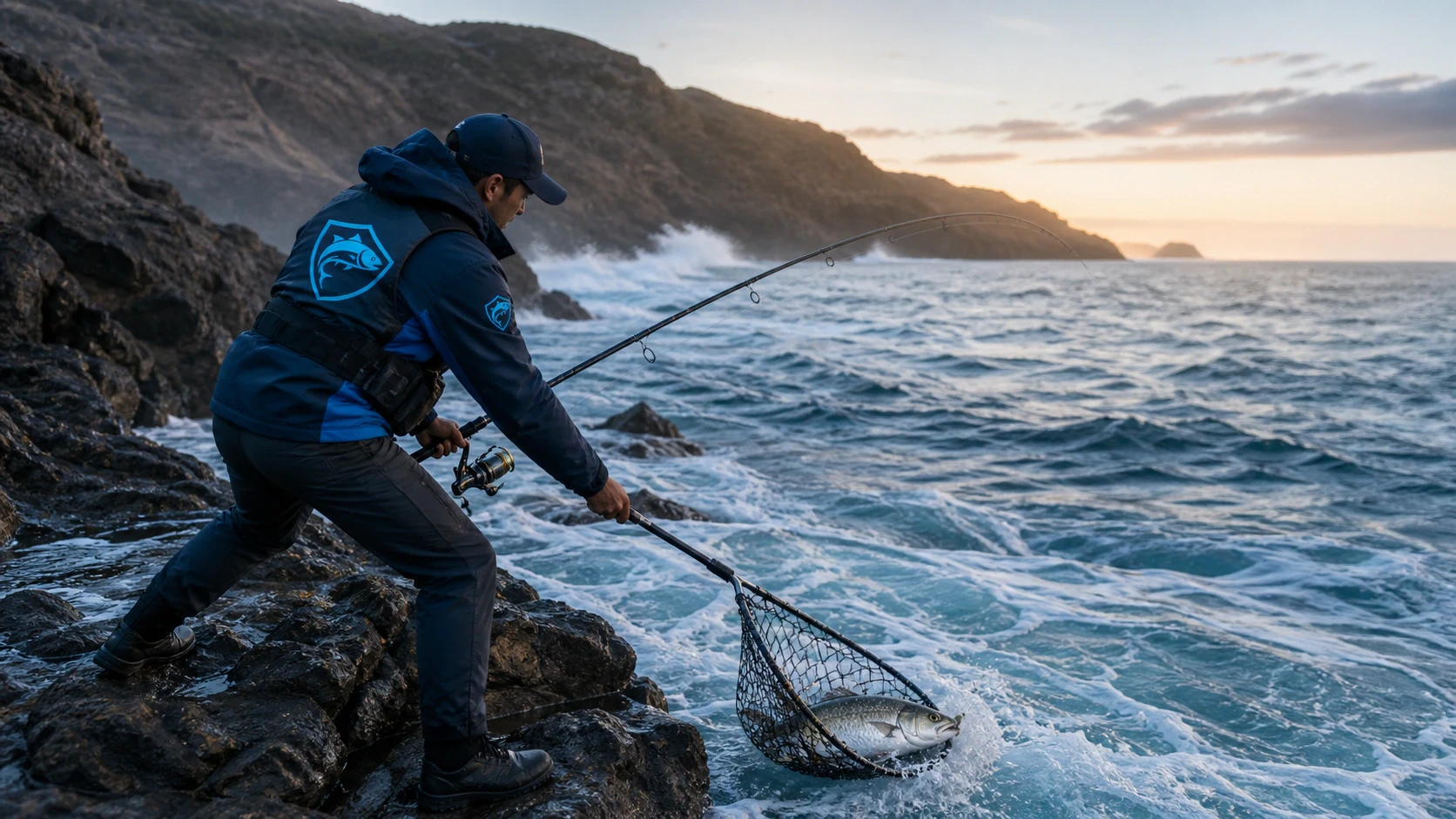
Compare sea conditions, review the spot sheet and save your personal locations in your private space.
The real app, without misleading staging
Every screen below is an authentic Android capture from BoosterFish. No data or feature has been redrawn for the website.
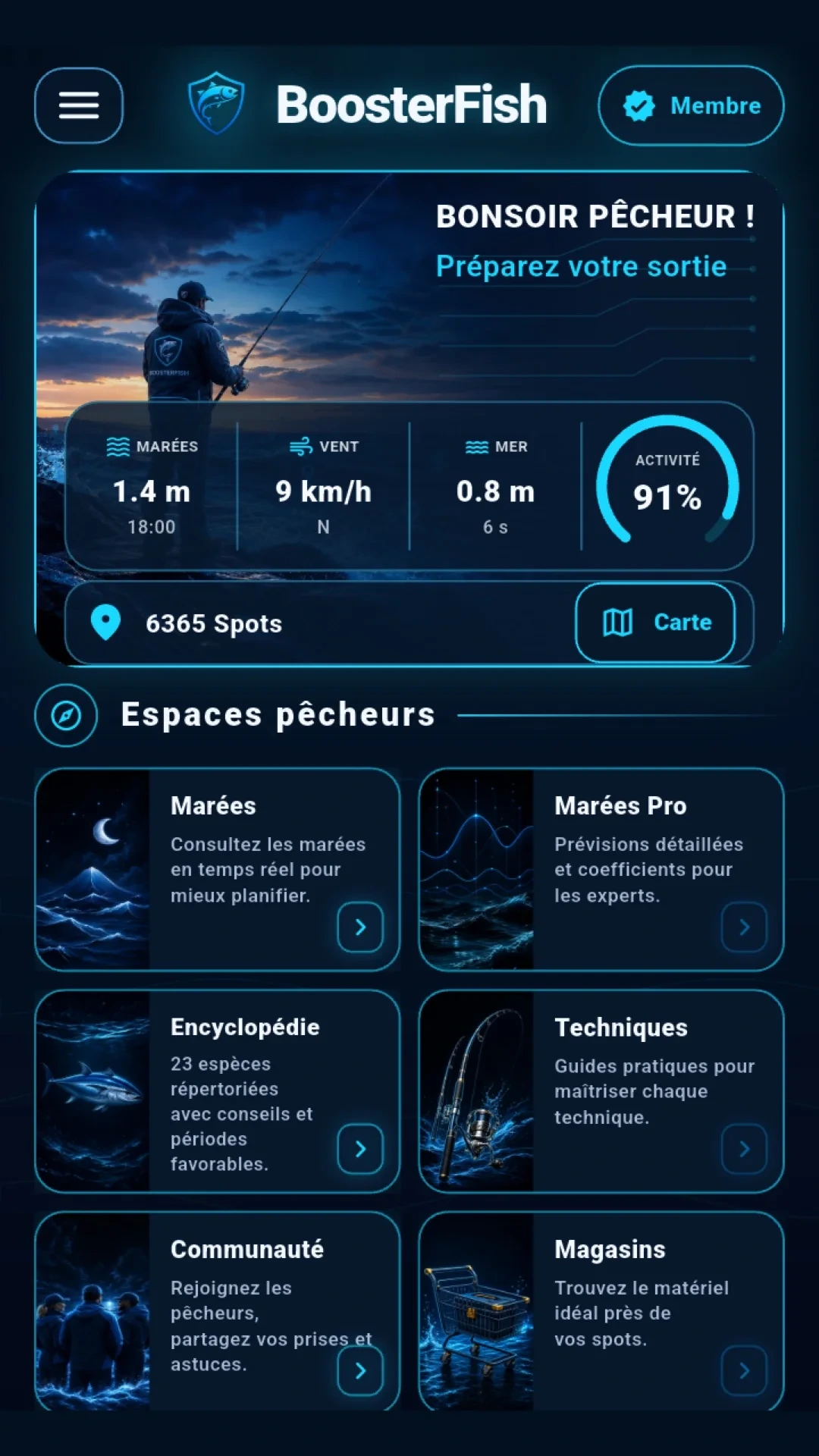
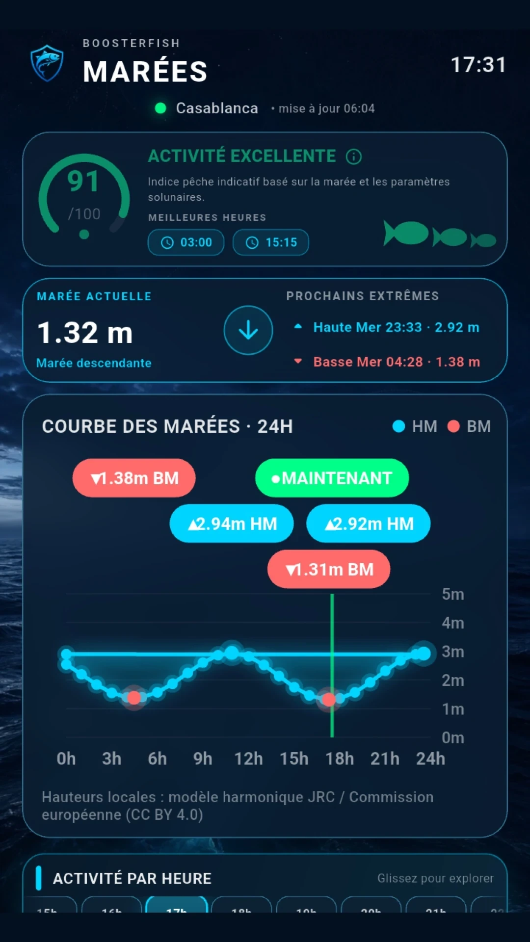
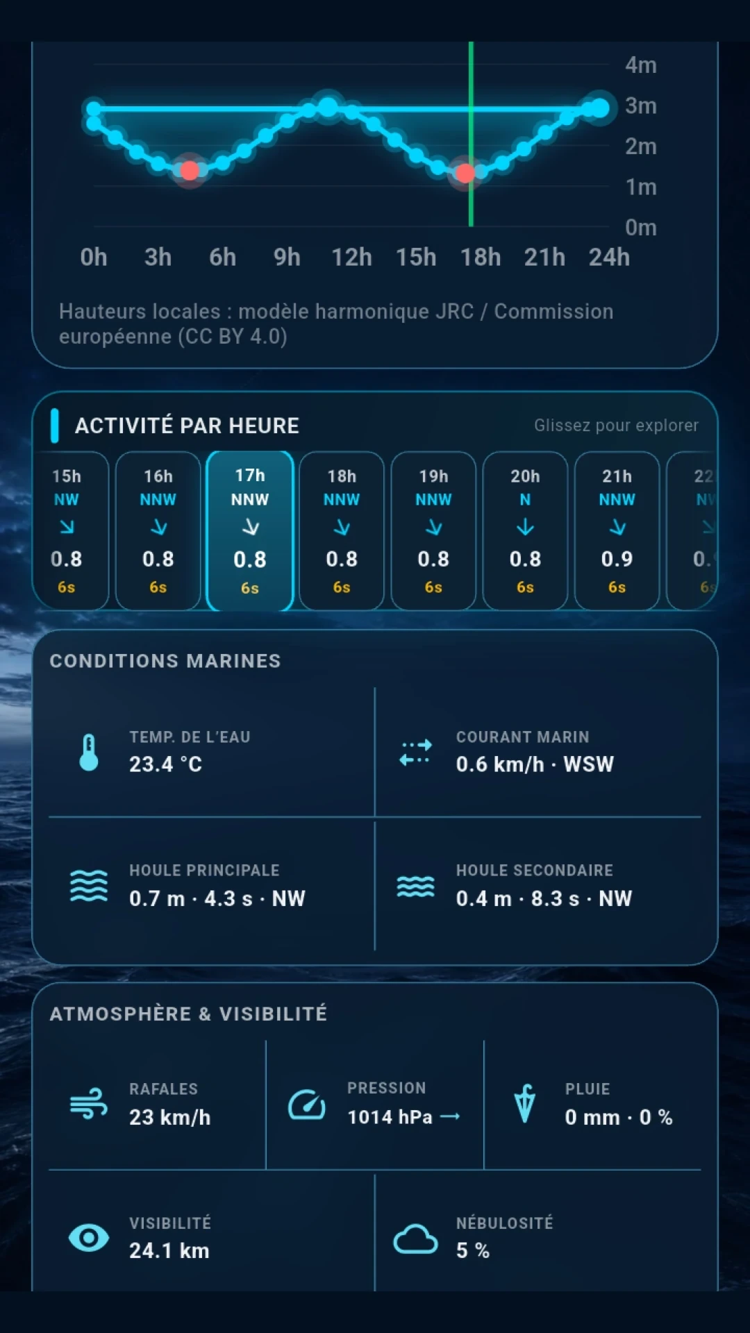
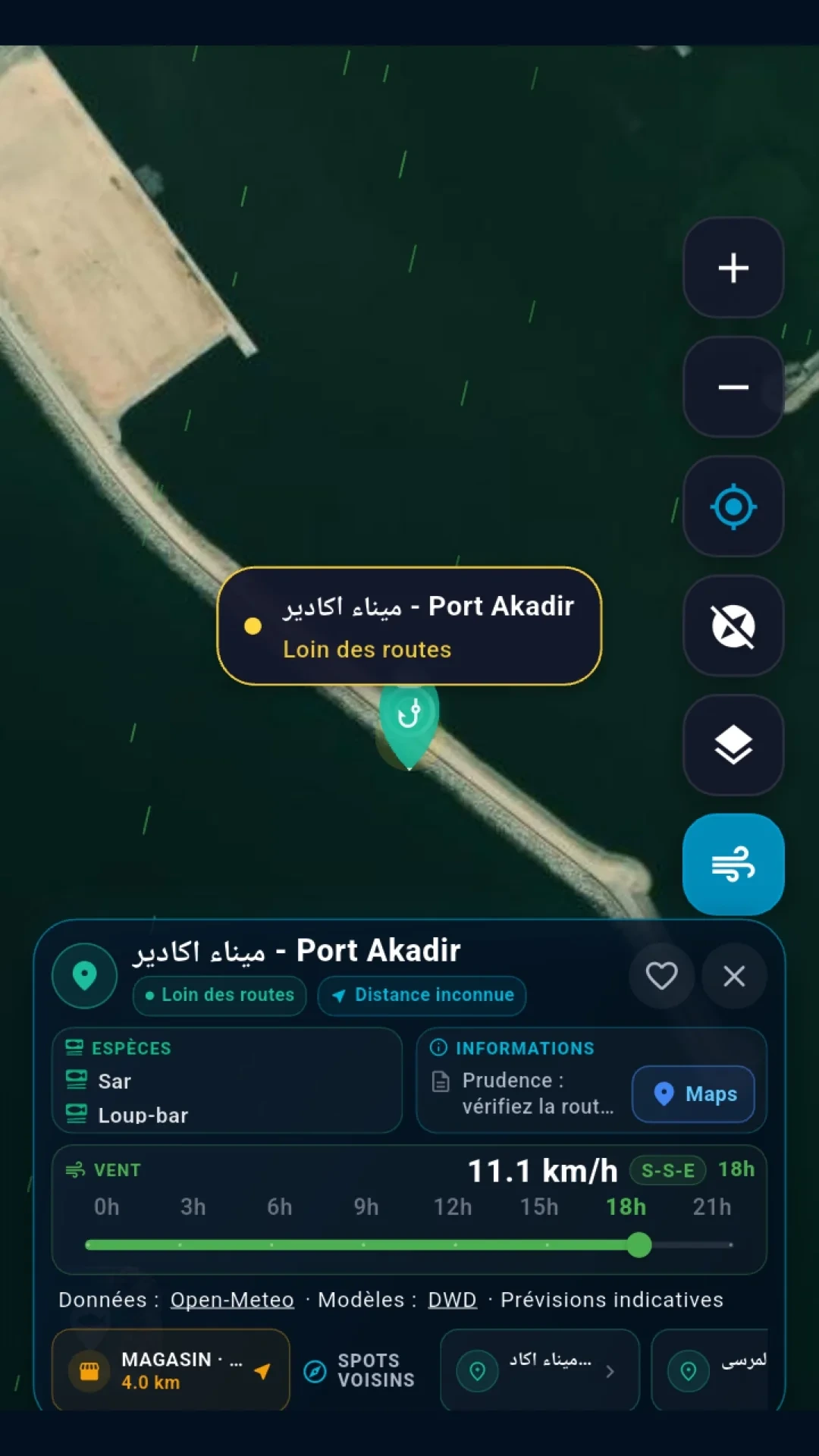
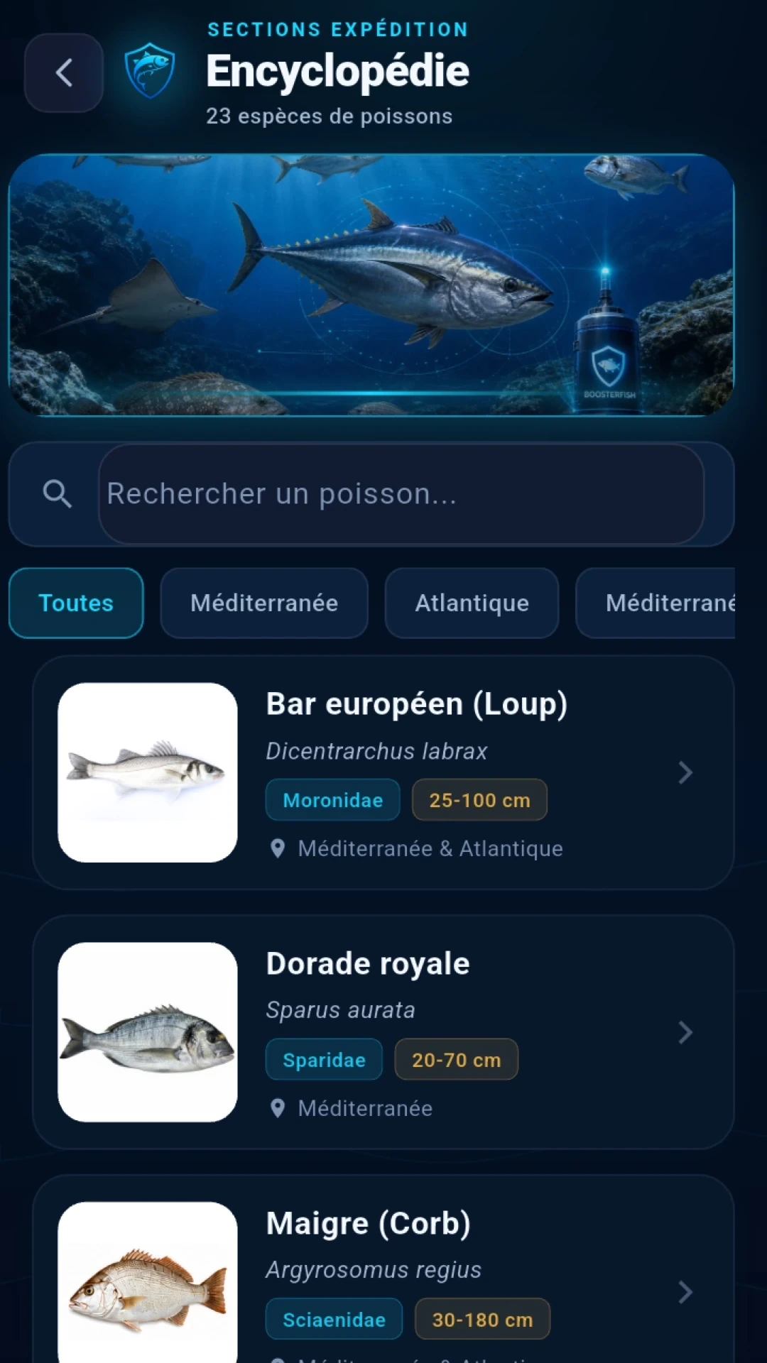
Five real screens: home, tides, marine conditions, spot details and fish encyclopedia.
Authentic app captures remain unchanged. The iPhone version is in preparation; Android is available on Google Play.
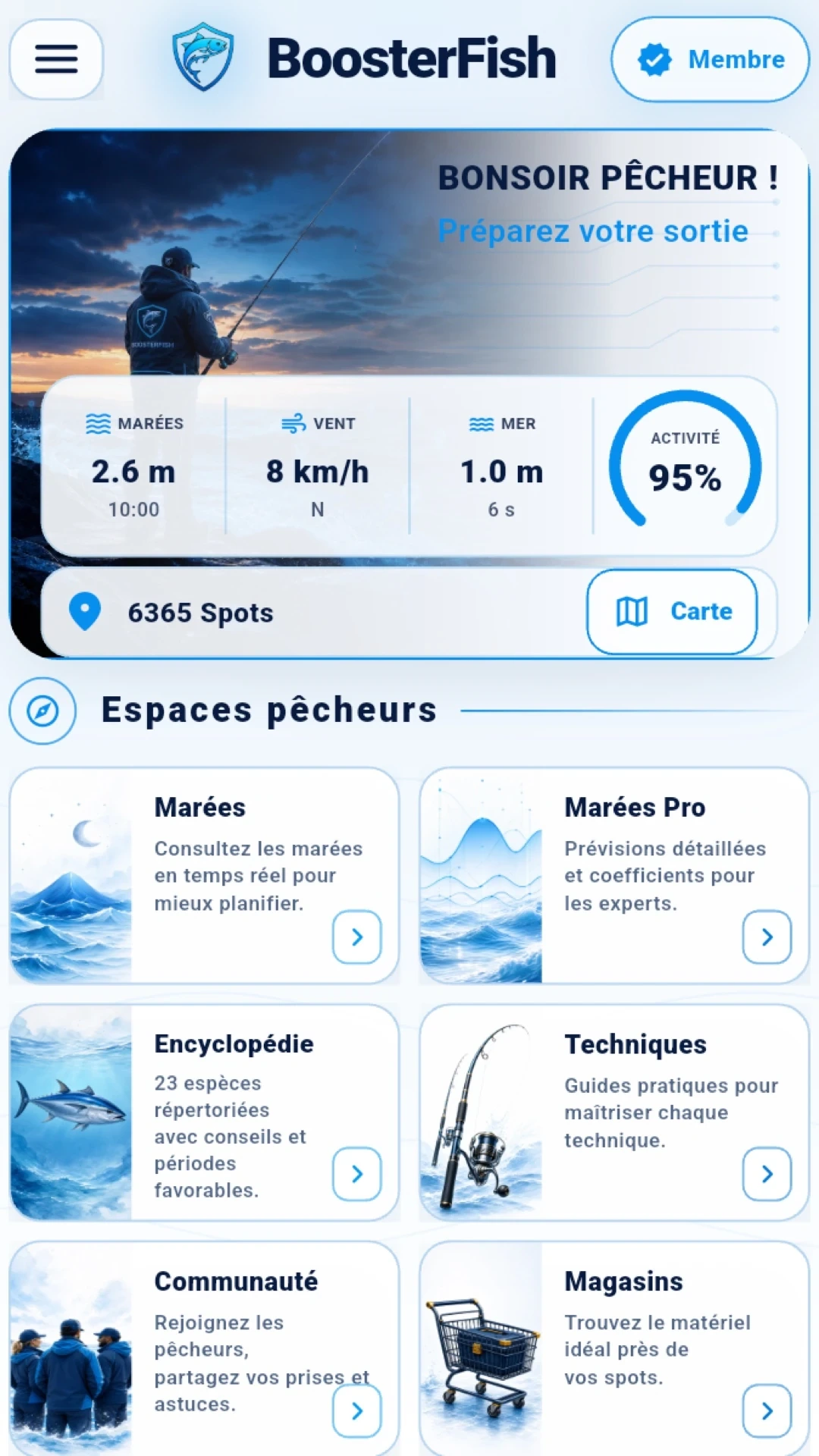
01 · Home
The home screen brings together tides, wind, sea state and indicative activity, then opens the Tides, forecasts, fish, techniques, community and shops spaces.
02 · Tides and sea
Current tide, upcoming extremes and local curve, followed by wind, gusts, swells, water temperature, current, pressure, rain and visibility whenever the data is available.
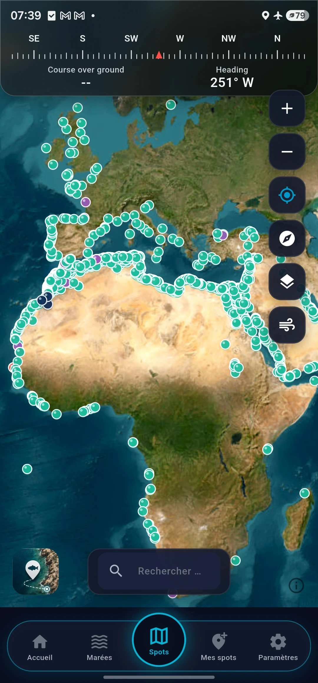
03 · Map and spots
Search through 6,365 official spots, measure a distance and check species, cautions, wind and nearby services. The website does not publish a navigable map of coordinates.
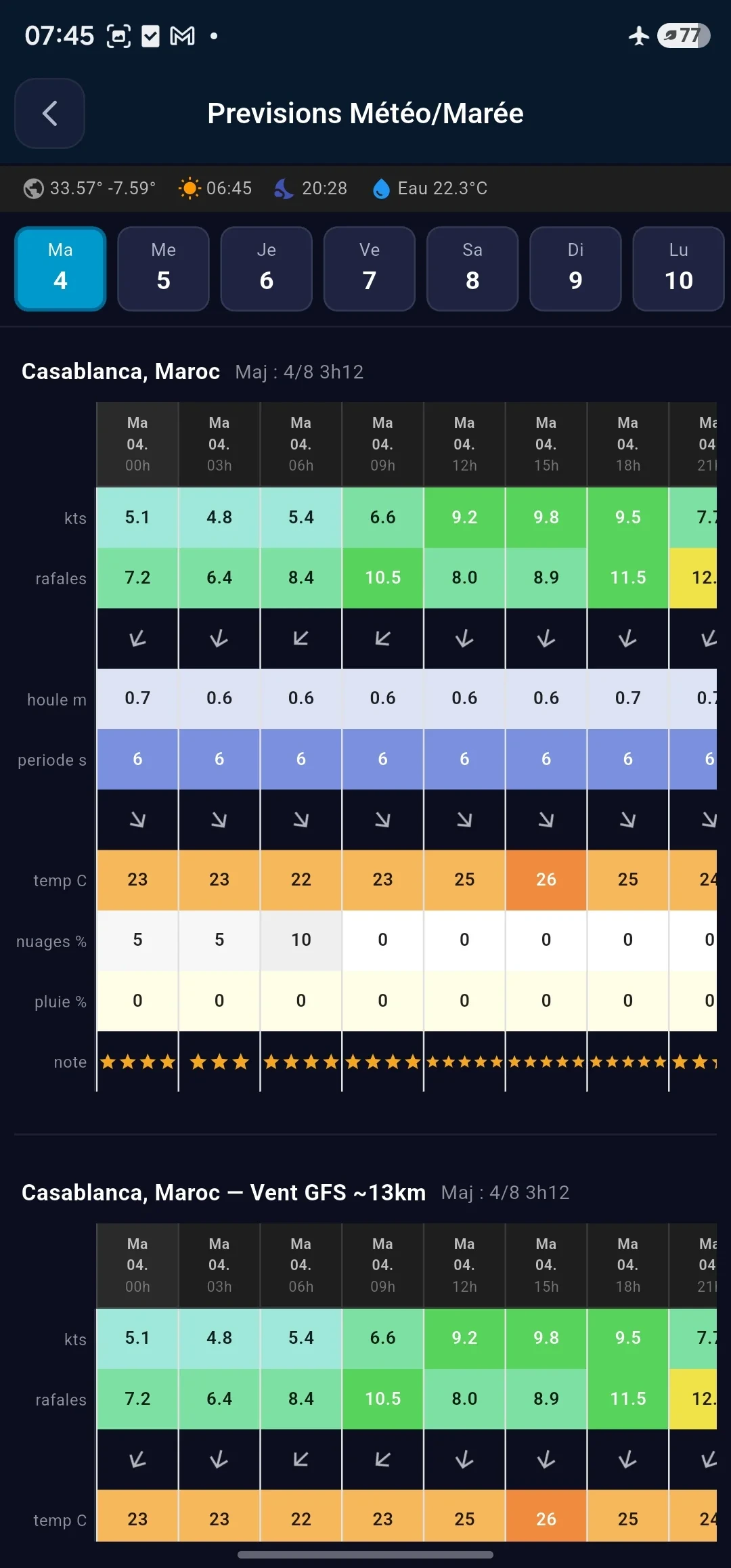
04 · Fish and forecasts
The encyclopedia includes 23 species with search, filters, advice and favourable periods. Forecasts detail wind, gusts, swell, period, temperature, clouds and rain.
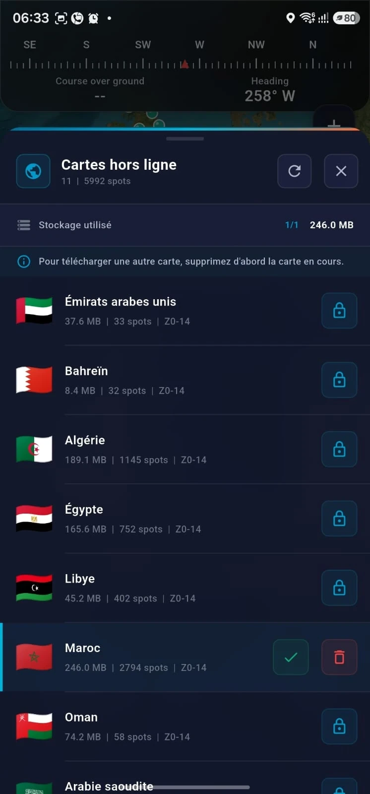
05 · Offline preparation
Country packs let you manage storage and keep a useful map base in areas with poor coverage. This feature is not a road navigation engine.
Angler spaces
Save your personal spots and favourites. A Google account is required for synchronization.
Keep a private gallery on your phone and publish a catch only when you choose to.
Share an approximate area, like, report, block an author or remove your publication.
Read practical guides dedicated to rigs and coastal fishing methods.
Find listed fishing shops near the displayed areas and spots.
The exact location of a private catch stays on the phone; a publication uses an approximate area.
Safety and transparency
Forecasts and indices are indicative. Always check official bulletins, local weather, tides, site access and sea conditions. BoosterFish is neither a marine navigation tool nor an emergency service.